Aerial Progress Photography Construction Sites – A Guide
You’ve felt that distinct energy on a massive building site. From planning schedules to leading staff, to briefing the investors. You know you can’t clone yourself to catch every moment.
What’s more, that phone camera of yours often leaves out crucial parts of the scene. Knowing exactly where your project stands can be a real headache. Imagine if you could just get a full, clear overview.
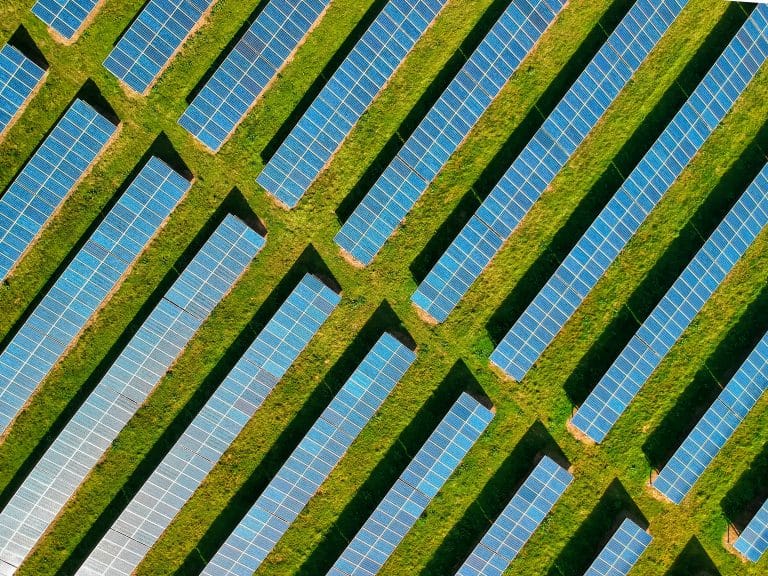
Think about aerial photos of building sites; they totally change how we track progress and run projects, right from the very start.
Drone photography captures high-resolution progress photos of your construction site over time, providing a powerful tool to track your project, share updates, and tackle problems head-on.
The Game-Changing Benefits of Construction Project Photography
Adopting this technology isn’t just about looking modern. It brings real, measurable advantages to your construction projects.
Keep Your Stakeholders Impressed and Informed
Let’s be honest, spreadsheets and written reports can be dry. They don’t always convey the real progress happening on site. Now imagine sending your clients or investors a crisp, clear aerial real estate video or a series of drone construction photos showing the month’s development.
Suddenly, they get it. They can see their investment taking shape, which builds incredible trust and confidence. These visuals make your reports compelling and easy to digest, answering questions before they are even asked and saving you valuable time.
For both commercial real estate and residential real estate, these visuals can also become powerful marketing videos. You can create compelling branding videos to attract future tenants or buyers long before the project is complete.
A Clear View for Better Project Management
From the ground, it’s hard to grasp the full scope of a large site. You might walk from one end to the other and still miss how different areas are interacting. Aerial progress photos solve this problem instantly by providing a complete overview in a single image.
This lets you spot potential logistical jams before they happen. Are material deliveries blocking access for subcontractors?
Is the site layout causing unnecessary travel time for your crews? Seeing the whole picture helps you make smarter decisions about staging, equipment placement, and workflow.
Integrating this visual data with your existing management software can streamline operations even further. Information from the sky directly informs ground-level decisions, keeping the project moving forward smoothly.
Even planning for final-stage work like landscape management becomes easier with this top-down view. The data you get can be integrated into base landscape management software for more informed decisions.
Catch Problems Early and Save Money
Mistakes on a construction site can be incredibly expensive, especially if they aren’t caught early. A foundation poured in the wrong spot or incorrect site grading can lead to massive rework costs. These are the kinds of issues that can derail a budget.
Regular drone inspection photography creates a detailed visual record of the work. You can overlay them with your site plans to verify that everything is being built to specification.
This construction photo documentation serves as indisputable proof of work completed and can be invaluable in resolving disputes with contractors.
Spotting a deviation early on is the difference between a minor fix and a major financial headache. This proactive approach to quality control is a huge benefit that minimizes waste and keeps your budget under control. You’re not just documenting progress; you’re protecting your bottom line.
Enhance Site Safety and Compliance

Safety is the top priority on any job site. But inspections can be time-consuming and sometimes put inspectors in risky situations. Drone services help you monitor site conditions without putting anyone in harm’s way, which is a core component of drone inspection photography.
From a safe distance, a drone inspection can check high-risk areas like scaffolding, rooftops, or trenches. You can check for proper safety barriers, identify fall hazards, or spot unsecured materials. This adds another layer to your safety program and provides photographic evidence for compliance reporting.
This documentation can be very valuable, showing you’re taking every step to maintain a safe working environment. Drone-based compliance reporting is becoming an efficient way to meet regulatory requirements. The photos can be uploaded to compliance software, such as the HOA compliance software, or used as part of regulatory submissions.
It’s also a powerful tool for risk assessment, such as using pre-hurricane flight data to prepare a site for a storm or using post-hurricane drone services to quickly assess damage.
Deliverables of Construction Progress Photography
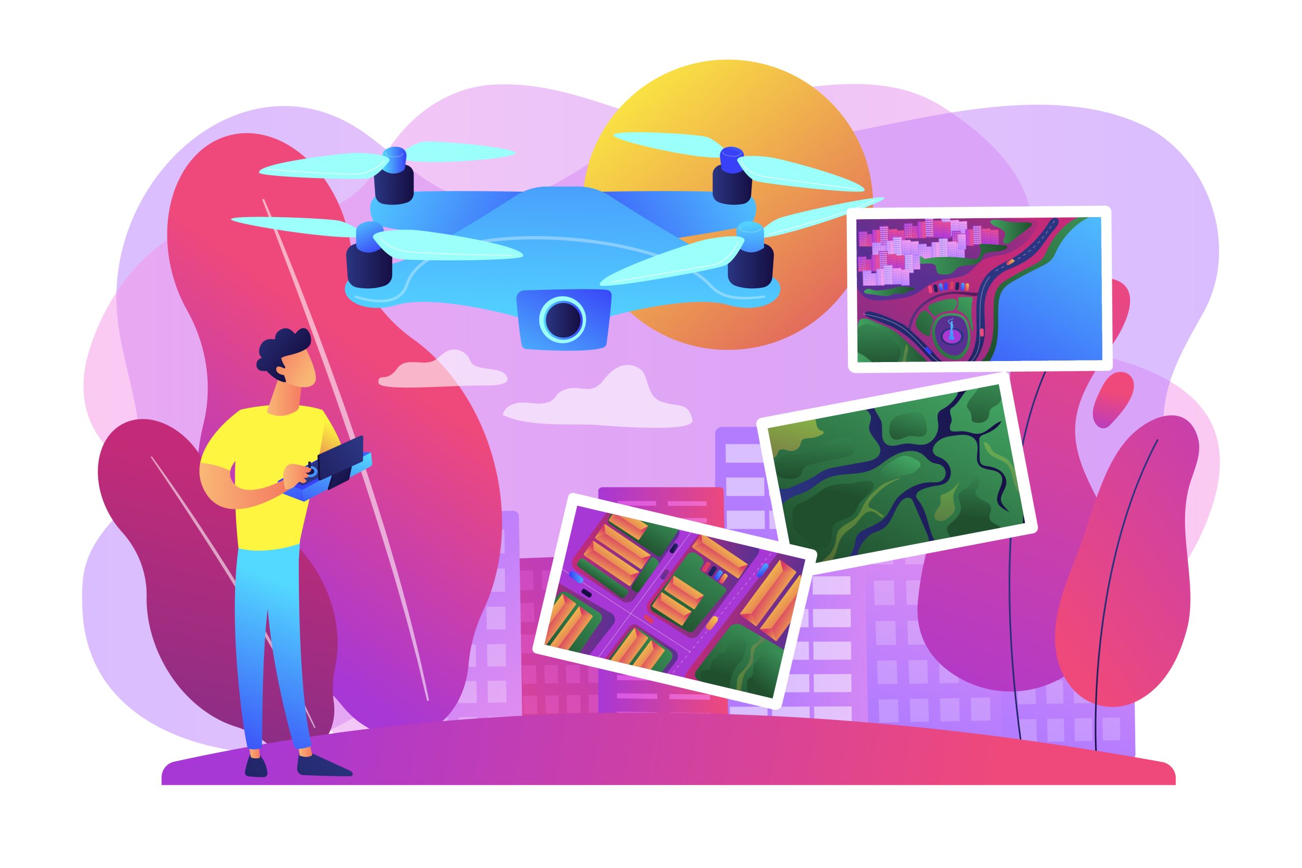
When you hire professional aerial imaging drone services, you get a collection of powerful visual tools. Each one serves a different purpose, helping you see your construction projects in a new way. Here are some of the typical deliverables you can expect:
- High-Resolution Stills: Crisp, detailed construction progress photography taken from key vantage points. These are perfect for photo documentation, reports, internal reviews, and creating marketing materials for residential real estate or commercial real estate.
- 4K Video Flyovers: Cinematic drone construction video tours that showcase your site and its progress. A well-produced residential real estate video, as well as commercial, is great for presentations to stakeholders and investors. These can also be edited into powerful construction marketing videos.
- Orthomosaic Maps: A giant, high-resolution 2D map of your entire site. It’s distortion-free and accurately scaled, letting you take measurements directly from the image, making it an excellent tool for site planning.
- 3D Models: An interactive digital twin of your job site. You can rotate, zoom, and explore it from any angle on your computer, which is especially useful for a high-rise project where a high-rise viewer application can be used for virtual inspections.
- Progressive Time-Lapses: A compelling video that stitches together photos from the same spot over weeks or months. This shows the construction progress through the entire lifecycle and is a fantastic marketing asset.
- Landscape Mapping: Detailed maps that show topography and land features. This is critical for initial site planning and later for landscape management, including lawn care planning.
These assets give you and your team a complete understanding of your site. They can be easily shared and viewed on any standard computer or tablet.
Choosing the Right Aerial Photography Partner
Since this is for a commercial purpose, you need a true professional. Here’s what you should look for when choosing a partner for your New England projects.
Check Their Credentials and Experience
This is the most important part. Any person or company flying a drone for business, such as construction progress photography, must have a Remote Pilot Certificate from the Federal Aviation Administration (FAA). This is known as a Part 107 certificate; ask to see it.
Also, ask about their experience with construction sites. Someone who mostly shoots drone event videos or weddings might not understand the specific needs and safety protocols of an active job site. Look for a portfolio that includes construction marketing examples and projects similar to yours.
What About Insurance?

Accidents can happen, even with experienced drone pilots. Make sure the provider carries significant liability insurance.
This protects your property, your people, and your company from any potential issues.
Do not skip this step. A professional operator will have no problem giving you a certificate of insurance. This is a clear sign that they take their business and your safety seriously.
They Should Understand Your Goals
A good drone photography partner acts more like a consultant than just a photographer. They should ask questions to understand your project and what challenges you’re facing. They should be able to explain each service type clearly so you can choose what’s right for you.
Based on that conversation, they can recommend the right frequency of flights and the best deliverables for your needs. A professional’s website should be easy to explore, allowing you to review case studies for each service. They should focus on giving you information that helps you do your job better.
Conclusion
The management of complex jobs has changed for the better. We have moved past the days of relying only on ground-level photos and lengthy reports.
The use of aerial construction progress photography offers a clear, comprehensive, and continuous view of your entire project from a perspective you could never get before.
For project managers across Massachusetts, Maine, and New Hampshire, aerial photography is no longer a luxury.
It is an essential tool for improving communication with stakeholders, making better management decisions, increasing site safety, and ultimately, protecting your budget and timeline.