Improve Your Efficiency With 3D Mapping Drones for Construction Sites
3D mapping drones are revolutionizing the way building projects come together.
These systems gather accurate details much faster and with greater safety than older ground methods.
A construction site manager gains a big edge by being able to whip up detailed 3D models in just a few hours.
Forget old methods; 3D mapping drones are rewriting the rulebook for building projects.
First, we’ll see their advantages.
You’ll see exactly how drones get used and the big difference they make on any construction job.
You’ll see exactly how to utilize drone technology for various tasks on your construction site.
What Are 3D Mapping Drones?
These specialized flying machines are far from ordinary.
They carry advanced sensors to capture detailed information.
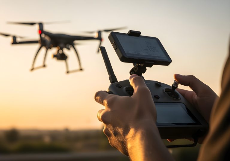
Drones buzz over building projects, flying pre-set routes.
They snap thousands of super clear, location-marked pictures with their advanced cameras.
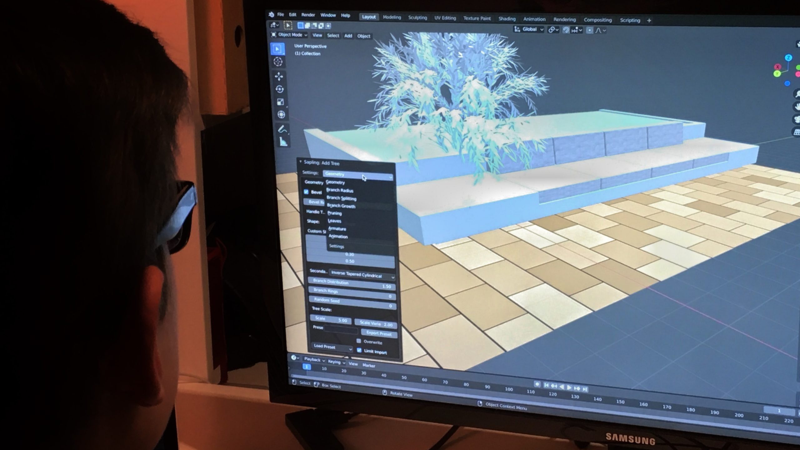
Specialized mapping software then processes these images through a method called photogrammetry to create detailed 3D models and orthomosaic maps.
Some construction drones utilize LiDAR (Light Detection and Ranging) sensors, either in addition to or instead of, cameras.
LiDAR uses laser light to measure distances, building incredibly precise maps of tough terrain and plant life.
You’ll get a detailed digital map of the building area from these two setups.
These advanced sensors, combined with GPS and sometimes RTK (Real-Time Kinematic) technology, enable drones to navigate with precision and achieve high accuracy.
Applications of 3D Mapping Drones
Mapping drones help construction teams with a wide range of tasks.
Site Planning and Design
Before any earth is moved, drones are used for initial site planning and analysis.
They generate highly detailed topographic maps and 3D models of the existing land.
With this data, architects, engineers, and city planners can create plans that integrate seamlessly with the natural contours of the land.
Progress Monitoring and Tracking
One of the most powerful uses of survey drones is progress tracking.
Regular flights create a visual timeline of the construction site.
Managers can overlay the latest 3D model onto the project’s BIM (Building Information Modeling) files to check for discrepancies.
Checking in regularly ensures our projects stay on schedule and don’t exceed budget.
Everyone involved can monitor progress from anywhere, making communication clear and transparent.
Volumetric Measurements
Drones make quick work of measuring the exact amount of sand, gravel, or dirt in large piles.
Using mapping software, managers can determine the exact volume of these piles with a few clicks.
You’ll gain a real understanding of your stock and watch those costs decrease.
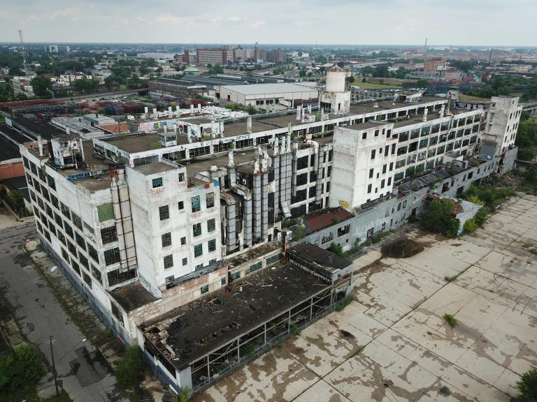
Building Inspection and Safety

A construction site inspection using drones is safer and more efficient than manual methods.
Imagine a drone flying around, its super-clear camera capturing every detail of a building’s front, roof, and even small spaces.
Inspectors can easily spot dangerous cracks or flaws in a building without getting too close.
Thermal imaging cameras, such as those from Teledyne FLIR, can detect issues not visible to the naked eye.
Imagine tiny detectors finding sneaky water leaks, cold spots from bad insulation, or even sparks from faulty wiring.
Disaster Response and Public Safety
On a large construction site, unexpected events like storms or equipment failure can create hazardous situations.
Drones can be deployed quickly for disaster response to assess damage and provide situational awareness.
This helps safety managers plan a secure response and a potential rescue search if necessary.
Choosing the Right Drone for Construction Surveying
Selecting the appropriate survey drone is vital for successful drone mapping. You’ll choose what works best based on the size of your construction jobs.
Also, consider your budget and what kind of data you absolutely need.
You’ll see models with various mixes of flight time, sensor quality, and portability.
Popular options include drones from manufacturers like DJI and Autel Robotics.
For professional mapping, models like the DJI Matrice series offer robust performance and payload flexibility.
For smaller job sites, a more compact survey drone, such as the DJI Mavic 3 Enterprise or the Autel EVO series, might be sufficient.
Here is a comparison of some popular construction surveying drones:
| Drone Model | Key Features | Ideal Use Case |
| Autel EVO II Pro | 6K camera, long flight time, obstacle avoidance. | You’ll get to see every tiny detail and exactly how things are moving along. |
| DJI Matrice 300 RTK | Multiple payload options, RTK precision, and advanced safety features. | Large-scale survey construction and complex infrastructure projects. |
| DJI Mavic 3 Enterprise | Mechanical shutter, RTK module, compact design. | Efficient and accurate mapping for medium-sized job sites. |
| Autel EVO II Dual 640T | Combines a thermal camera with an 8K visual camera. | Inspecting structures, seeing hidden heat signatures, and crucial public security efforts are what we do. |
For beginners entering the drone hobby, gaining insightful advice from an established drone vendor or exploring a niche online retailer can often prove highly beneficial.
Picking the right construction drone gives your team a huge advantage.
How 3D Mapping Drones Work on Construction Sites
The process of using 3D mapping drones on construction sites follows a clear workflow.
- Flight Planning: Using mapping software, the drone operator plans an automated flight path. Before takeoff, our plan outlines the survey zone, the altitude we’ll fly, and how photos will overlap to capture every detail. Doing this makes sure the numbers you get always match up.
- Data Collection: The drone autonomously flies the pre-programmed route over the construction site. Its high-resolution cameras capture hundreds or thousands of geotagged photos at specific intervals. The time it takes varies depending on altitude, the size of the area, the amount of data being collected, and other factors.
- Data Processing: The collected images are uploaded to a photogrammetry software platform for processing. Give the software your pictures. It quickly identifies matching points and merges them into a seamless image. The process creates a 3D point cloud, a digital surface model, and a super clear orthomosaic map.
- Examining the outcomes. Once the data is all sorted, the team compiles clear reports and helpful visuals. Distributing these critical findings to every project participant empowers them to render well-reasoned judgments. Working together in this manner keeps everyone in sync and ensures the project moves forward smoothly.
Challenges of Using 3D Mapping Drones
While 3D mapping drones are powerful, their implementation does present some challenges.
If your business is considering this technology, you’ll want to get a clear picture of the potential challenges ahead.
Proper planning can mitigate most of these issues.
Regulations

Drone operations are regulated by aviation authorities, such as the FAA in the United States.
Before you even think about flying, make sure you’ve got your pilot’s certification in hand.
Then, remember that every single flight must adhere to the airspace rules set by both your local authorities and the federal government.
Weather Limitations
Drone flights are dependent on weather conditions.
High winds, heavy rain, or snow can make flying unsafe or impossible.
If you don’t plan ahead, gathering information can slow down, pushing back your whole project timeline.
Data Management
A single drone survey can generate massive amounts of data, often many gigabytes.
Just holding onto all this digital information, running calculations on it, and keeping it neatly organized demands machines with serious horsepower and immense digital warehouses to put everything.
Teams need individuals who are skilled at data analysis to extract what’s truly important from the models.
The Future of 3D Mapping Drones in Construction
The role of 3D mapping drones on construction sites will only continue to grow. Here are some insights into the future.
AI and Machine Learning
Artificial intelligence will play a larger role in analyzing drone data.
Think of AI as a sharp assistant, automatically catching dangerous spots, following project updates, and flagging building flaws.
Project managers will gain a quick, clear understanding of their work thanks to this automation.
It also removes much of the hands-on drudgery they currently face.
Integration with Other Technologies

Drones will become increasingly integrated with other job site technologies, such as IoT sensors and robotic systems.
This will create a fully connected ecosystem where real-time data from various sources informs a central digital twin of the project.
Once these technologies are connected, every step of the construction process will run smoothly.
Improved Sensors
Sensor technology will continue to advance.
Future LiDAR devices, now lighter and stronger, combined with sharper cameras, will build incredibly precise 3D maps.
All surveying drones will now work much more effectively.
How to get Started With 3D Mapping
Ready to kick things off? Here are five simple ways to start.
- Start Small: Begin with a single pilot project to understand the process and its benefits. You can train your staff while daily work continues uninterrupted. Presenting it in this way clearly illustrates the system’s power to executives and other key stakeholders.
- Train Your Team: Proper training is essential for safe and effective drone operations. Equip your drone pilots with official FAA Part 107 credentials. Also, give your data analysts the proper instructions. Alternatively, you can partner with an experienced drone service provider.
- Choose the Right Equipment: Select a survey drone and mapping software that aligns with your project’s needs. Before you gather anything, think about the land’s size, how spot-on your measurements must be, and the specific facts you plan to collect.
- Plan for Data Management: Establish a clear plan for handling the large data files. This includes having adequate processing power and storage solutions, whether on-site or in the cloud. Hitting your targets truly relies on having a clear game plan for your information.
- Communicate the Benefits: Help everyone on your team understand how drones will improve their work and enhance overall project efficiency. When everyone feels part of the process from the outset, the new system is adopted much more quickly.
Conclusion
3D mapping drones make everything more precise, safer, and faster.
And since drone technology keeps improving, you’ll see them used much more frequently on construction sites.
Firms that adopt 3D drone mapping now will gain a competitive edge.