Aerial Inspection Services New England: Boost Efficiency
New England’s large buildings and roads face significant maintenance challenges. Winters hit hard. Summers get steamy. Fierce storms often roll through. They slowly chip away at your holdings.
You’ll quickly find it incredibly difficult to maintain an accurate record of the building’s status at a given time. Old-school inspections typically take a long time, carry significant risks, and drain your budget.
Modern aerial inspections in New England provide a clearer view of everything. They show you the big picture, so you can catch little problems way before they turn into giant messes.
Gain the wisdom to make excellent calls, keep more cash in your pocket, and guard your employees from harm.
So, what do aerial services actually inspect?
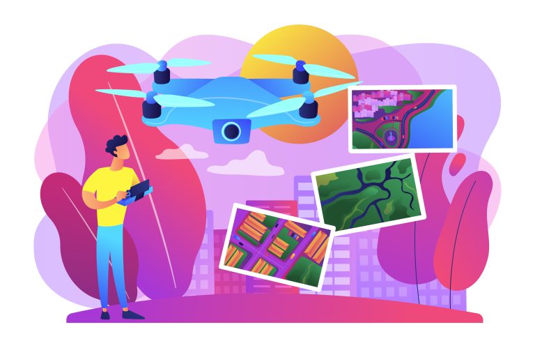
Professional aerial inspections use sophisticated unmanned aerial vehicles (UAVs), also known as drones. These aircraft are equipped with high-resolution cameras and advanced sensors for detailed data collection.
An FAA licensed pilot flies the drone along programmed routes around your property or asset. The drone captures incredibly detailed images and other information. This raw data is then processed by powerful software.
The software can create detailed digital models or highlight potential issues invisible to the naked eye. The core of this service is about gathering precise data from perspectives that are difficult or dangerous to reach otherwise.
The Problems with Old-School Inspections
For years, inspecting a tall building or a long stretch of power lines was a huge challenge. It involved a lot of time, money, and most importantly, risk. You had to hire teams to climb towers or put up expensive scaffolding.
This work is inherently dangerous for the inspectors involved. The risk of falls or other job site accidents is always a major concern, leading to high insurance costs and complex safety protocols. Plus, this method is remarkably slow.
It can take weeks to complete a manual safety inspection on a large structure. This downtime can interrupt business operations and cost your company significant revenue.
Manual inspections also miss things, as a person can only see so much from one vantage point, potentially overlooking small cracks that later become major failures.
How Aerial Inspections Change the Game for New England Businesses
The switch to drone inspections is about solving real-world business problems. Across Massachusetts, Maine, and New Hampshire, companies are seeing huge benefits from this drone technology.
For Construction and Real Estate Projects
On a construction site, conditions change daily. Keeping track of everything can be a major challenge for project managers. Drone services can fly over the site on a set schedule, weekly or even daily, to monitor construction.
These flights capture data that lets you track construction progress against your plans. This frequent oversight helps you spot potential issues early, like materials being misplaced or work falling behind schedule.
For commercial real estate, aerial photography from drones provides stunning marketing shots that showcase a property from a unique perspective. Drones also perform detailed inspections of a building’s exterior before a sale. You can check the roof, windows, and facade without bringing in an expensive lift or scaffolding.
For Utility and Energy Infrastructure

New England’s power grid is sprawling and constantly exposed to harsh weather. Inspecting thousands of miles of power lines manually is a monumental job. Drones can fly along these corridors much faster than a ground crew ever could.
Using thermal imaging cameras, these unmanned aerial vehicles can spot overheating components, which is often a clear sign of an impending failure. Wind turbines and solar panel farms also require regular checks to operate efficiently.
A drone inspection can gather visual data on turbine blades or identify damaged panels quickly.
Sending a person up a 300-foot wind turbine is a major operation, but a drone does the same visual check in a fraction of the time.
For solar panel assets, thermal scans can identify underperforming cells or faulty connections, allowing for targeted repairs. This approach dramatically improves the safety and efficiency of maintaining critical energy infrastructure.
For Commercial Property Management
As a property manager, you are responsible for the building’s maintenance and upkeep. Roof inspections are one of your biggest recurring costs and operational challenges. Sending a team onto a large commercial roof is risky and time-consuming.
A licensed drone can capture high-resolution images of the entire roof surface in an hour or two. You can clearly see cracks in the membrane, clogged drains, or damaged flashing that could lead to leaks. The level of detail from a drone inspection far surpasses what the human eye can catch from the ground.
Furthermore, the use of thermal imaging helps find areas of heat loss in the building envelope. This information is critical for improving energy efficiency and lowering heating and cooling bills. What used to be a major project becomes a simple, repeatable task.
For Bridges and Public Infrastructure
Our region’s bridges and overpasses are aging. Verifying their safety is a top public priority. Shutting down a bridge for a traditional inspection causes major traffic headaches and economic disruption.
Aerial inspections can change that entire process. Drones can fly under the bridge deck and around support columns to perform a thorough safety inspection. They capture detailed video and images that engineers can review from their office.
This method can often be completed without closing lanes of traffic. It saves public money, reduces disruption, and allows for more frequent monitoring. The collected data can also be used to create detailed digital models for long-term structural health tracking.
The Technology Behind the Lens: More Than Just a Drone
The drone itself is just the flying platform. The real power comes from the sensors it carries and the software used for post processing the data. Different jobs require different tools, and a good aerial inspection provider will have a range of options.
These are some of the common sensor types and their applications.
| Sensor Type | What It Does | Best Used For |
|---|---|---|
| RGB (Visual) | Captures high-resolution color photos and video. | Visual crack detection, construction progress monitoring, and real estate marketing photos. |
| Thermal (Infrared) | Detects differences in temperature on a surface. | Finding roof leaks, checking electrical systems, locating heat loss, and solar panel inspection. |
| LiDAR | Uses laser pulses to measure distances and create 3D models. | Creating highly accurate site maps, generating a point cloud, and measuring material volumes. |
| Multispectral | Captures light from specific frequencies across the electromagnetic spectrum. | Assessing crop health in agriculture or identifying specific types of material degradation. |
The data that drones capture is then transformed into useful formats. For example, hundreds of photos can be stitched together to create a large, high-resolution map called an orthomosaic. This work can even produce a digital twin, a precise digital replica of a physical asset, allowing for virtual analysis and planning.
The Aerial Inspection Process: From Flight to Report
A professional drone inspection is a structured process designed to deliver accurate results. It starts long before the drone ever takes off. Understanding these steps can help you appreciate the value delivered by a professional firm.
First comes the planning stage. The inspection team will discuss your specific goals to understand what you need to see and measure. They will review the site, check for airspace restrictions, and create a detailed flight plan to capture the necessary data efficiently and safely.
Next is the on-site data collection. An FAA licensed drone pilot arrives at the location and conducts pre-flight checks.
The drone is then flown along the predetermined path, and its sensors gather the high-resolution imagery and data. The pilot monitors the flight to adapt to any changing conditions.
After the flight, the post processing phase begins. This is where the raw data is converted into actionable information. Using specialized software, technicians process the images, analyze thermal readings, or compile point cloud data into a 3D model. This step is critical for turning pictures into insights.
Finally, you receive the deliverables. This is not just a folder of images but a comprehensive report. It may include annotated photos highlighting areas of concern, thermal maps showing energy loss, or a digital model you can explore on your computer.
Choosing the Right Provider for Aerial Inspection Services New England
Not all companies offering drone services are the same. Flying a drone recreationally is easy, but conducting a professional inspection requires expertise. When you are looking for a partner, you need a provider who understands your industry’s specific needs.
Here are a few things you should look for when selecting a firm, such as a dedicated services llc.
- Proper Licensing and Insurance: This is the first and most important check. The pilot must have an FAA Part 107 certificate to operate commercially. The Federal Aviation Administration sets these rules to maintain safety in the national airspace, and a professional firm will always comply. Make sure the company also has significant liability insurance to protect your property.
- Industry-Specific Experience: A company that specializes in real estate aerial photography might not be the best choice for inspecting complex wind turbines. Ask for case studies or examples of their previous work in your specific field. They should understand what problems to look for and the standards of your industry.
- Advanced Equipment and Software: Do they have the right sensors for your particular job? Ask about the drones and cameras they use, as professional-grade equipment yields better results. Also, ask how they process the data and what kind of report you will receive; a folder of random pictures isn’t helpful without analysis.
- A Strong Safety Record: Professional drone operations are built on a foundation of safety. The company should have a clear safety manual and a rigorous pre-flight checklist process. Ask them about their procedures for flying in different weather conditions or near obstacles, as their commitment to safety reflects their overall professionalism.
- Clear Deliverables and Privacy Policy: Understand exactly what you will get at the end of the project. Will you receive a detailed PDF report, raw image files, or access to an interactive digital model? You should also ask about their privacy policy to understand how your data is stored, handled, and protected.
A good provider acts more like a consultant than a simple service operator. They work with you to understand your goals. Then, they develop a plan to get the specific data you need to make informed decisions.
Conclusion
The old ways of inspecting your valuable assets are becoming obsolete. They are too slow, too expensive, and carry too much inherent risk. Modern drone technology gives us a better path forward for asset management.
Using aerial inspection services in New England is a smart business decision for any company that manages physical infrastructure. You get clear, detailed data to make better maintenance decisions. This approach saves you money, protects your investments, and improves safety for everyone involved.